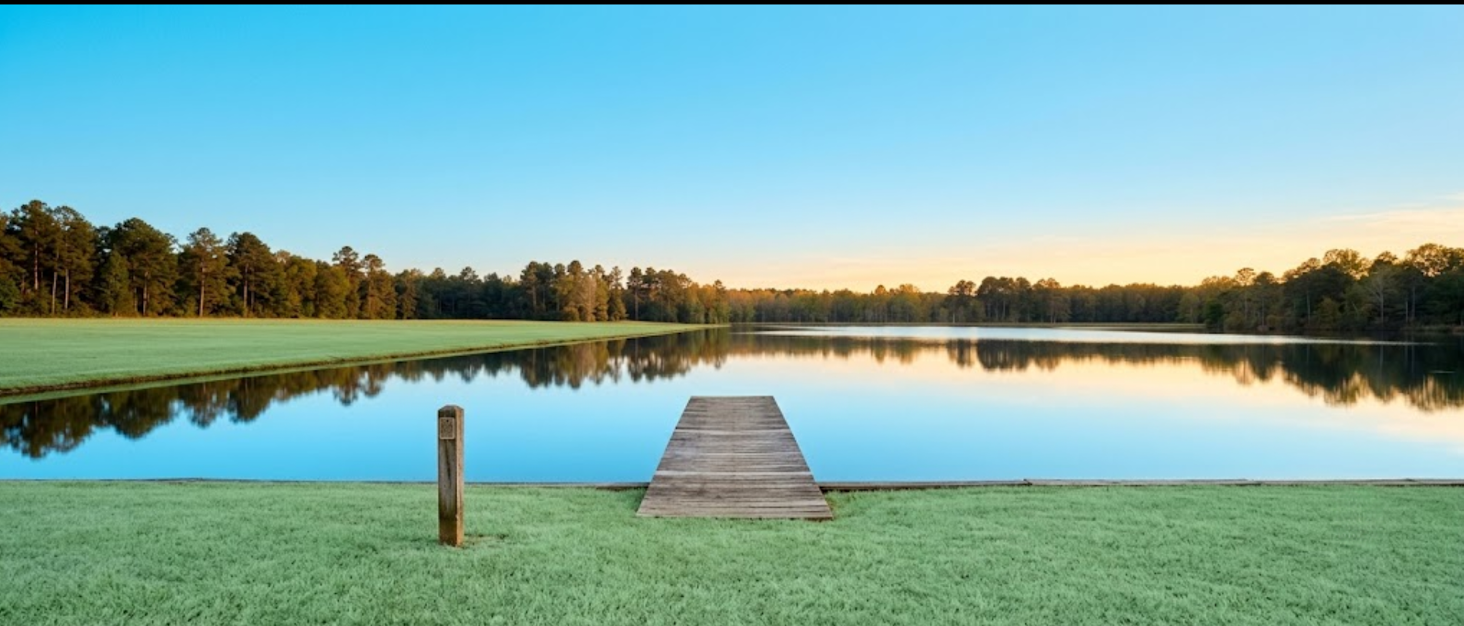
The short answer: A shoreline road allowance is a strip of land, typically 66 feet (about 20 metres) wide, that the Crown reserved along the edge of many Ontario lakes and rivers back in the 19th century, originally for road access. On countless waterfront properties, that strip still legally belongs to the municipality, not the cottage owner, even though it sits between the property and the water. If your dock, boathouse, or even part of your cottage sits on it, you do not fully own the land underneath. This is separate from a building setback, and it is worth checking before you buy.
Waterfront buyers usually focus on the view, the dock, and the distance to the water. Almost none of them ask the one question that can matter more than any of those: does the seller actually own all the way to the water's edge? In much of Eastern Ontario, and across cottage country more broadly, the answer is sometimes no, because of a strip of land called the shoreline road allowance.
This is a title issue, not a construction rule, and it gets confused with building setbacks constantly, including in a lot of casual online advice. This guide keeps the two separate and walks through what a shoreline road allowance actually is, how it came to exist, how to find out if one applies to a property you are considering, and what it means for the dock or cottage that might already be sitting on it.
What is a shoreline road allowance and where did it come from?
A shoreline road allowance is a strip of land, generally 66 feet (one chain, about 20.1 metres) wide, that Crown surveyors laid out along the banks of lakes and rivers across Ontario in the late 1800s. The original purpose was public access and transportation, moving goods and logs along the water before roads and rail networks existed in these areas. Surveyors working through much of Eastern Ontario, from Georgian Bay east to the Ottawa River corridor, were instructed to reserve this strip on nearly every navigable shoreline they mapped.
That commercial purpose disappeared over a century ago, but the legal strip of land often did not. In many cases, the road allowance was never developed into an actual road. It simply sat there, undeveloped, while cottages and later year-round homes were built along the shore around it, sometimes right on top of it, often with the informal blessing of a municipality that had bigger priorities than enforcing a road allowance nobody planned to use.
Ownership of these allowances generally rests with the local municipality today, under the Municipal Act, unless that specific strip has been formally closed and sold to the adjacent property owner. In unincorporated areas, some allowances and Crown shoreline reserves remain under provincial jurisdiction instead, administered through the Public Lands Act rather than municipal bylaw.
Newer waterfront lots are less likely to have this issue, because most municipalities now require developers to purchase the road allowance as a condition of severance or subdivision approval, folding it into the lot before it is ever sold. Older cottage properties, the kind with real history in North Grenville and along the Rideau corridor, are the ones most likely to still have an unresolved allowance sitting between the deeded lot line and the water.
None of this makes a property with a road allowance a bad purchase. It makes it a property with one more thing to verify, and in a region where waterfront carries this much value, verifying it properly is exactly what protects that value for the buyer, and for whoever they eventually sell to.
How is a shoreline road allowance different from a building setback?
A shoreline road allowance is a question of land ownership, while a building setback is a question of how far a structure must sit from the water once ownership is established, and the two get mixed up constantly because they both involve the strip of land near the shore. The road allowance asks: who legally owns this land? The setback, enforced through municipal zoning and the local Conservation Authority, asks: assuming you own the land, how close to the water are you allowed to build?
A property can have a clean, resolved title with no road allowance issue at all, and still be subject to a 30-metre setback from the high water mark for any new construction. Conversely, a property could have generous setback room available and still carry an unresolved road allowance that puts an existing dock or boathouse on land the owner does not hold title to. They are answered by different authorities, using different processes, and a buyer needs to check both, separately.
Two different questions, two different checks: "Do I own the land under my dock?" is a road allowance and title question, answered by a land survey and a municipal records check. "How close to the water can I build something new?" is a setback question, answered by the local Conservation Authority (RVCA, MVCA, or the applicable authority for that watershed).
The confusion between the two shows up constantly in casual advice online, and even in some real estate marketing, where "shoreline allowance" gets used loosely to mean anything related to how close a structure sits to the water. Buyers who understand the distinction going in are the ones who ask sellers and agents the right question the first time, instead of getting a setback answer to a title question or vice versa. That clarity alone puts a buyer ahead of most people shopping waterfront in this region.
How do you find out if a property has an unresolved shoreline road allowance?
Finding out whether a shoreline road allowance exists starts with a current land survey, which should show the deeded lot line clearly separate from the high water mark if a road allowance sits between them, followed by a check of the property's parcel register and title history, and a call to the municipality's planning or building department to confirm the allowance's status: open, closed and merged with the lot, or available for purchase.
A seller who has already purchased or closed the road allowance on their property should have documentation showing clear title to the water's edge, and that documentation is worth asking for directly during the conditional period. If no such documentation exists and the survey shows a gap between the lot line and the water, that gap is very likely an unresolved allowance, and it deserves a direct answer before removing conditions, not an assumption based on how long the cottage has been there.
If a current survey does not exist, which is common on older cottage properties that have not changed hands in decades, commissioning one is a reasonable condition to build into an offer. A qualified Ontario land surveyor can locate the original road allowance boundary and confirm exactly where the deeded lot ends relative to the water, even when decades of shoreline change, erosion, or fill have blurred the line on the ground itself.
This single question, does the deeded lot reach the water, is one of the most valuable few minutes a waterfront buyer can spend, and unlike many due diligence items in real estate, the documentation to answer it definitively already exists in municipal records. It simply has to be requested.
Waterfront listings across North Grenville and Merrickville-Wolford:


What does it mean if a dock or cottage sits on the road allowance?
If a dock, boathouse, or part of a cottage sits on an unresolved shoreline road allowance, that structure is technically standing on land owned by the municipality, not the property owner, which can create complications with land transfers, mortgage financing, insurance claims, and estate settlement down the line. It does not necessarily mean the structure is in danger of removal, many have stood for decades under informal tolerance, but it does mean the owner's legal position is weaker than a deed alone would suggest.
Buyers facing this situation generally have a few paths forward, each with its own cost and timeline. The most permanent option is applying to purchase the road allowance outright from the municipality, a process governed by a public road-closing bylaw that typically takes six months to a year, involves neighbour notification, and requires a survey plus legal and application fees. Costs vary significantly by municipality, since each sets its own per-square-foot pricing and administrative fee structure for these applications.
A lighter-weight alternative in some municipalities is a licence of occupation, an annual rental arrangement, often in the range of a few hundred to about a thousand dollars a year, that allows structures to remain without transferring ownership. This route is faster and cheaper upfront, but it comes with real trade-offs: the licence can be terminated, it does not guarantee the same long-term certainty as ownership, and it does not resolve the underlying question for a future buyer the way an outright purchase does.
For a buyer, the smartest approach is not avoiding properties with this issue, since it is common enough across cottage country that avoiding it entirely would rule out excellent properties for the wrong reason. The smart approach is pricing and negotiating with full knowledge of the situation, potentially making the offer conditional on the seller providing clear documentation, or factoring the cost of a future purchase application into the negotiation itself.
A resolved shoreline road allowance, one already purchased and merged into the title, is a genuine asset on a waterfront listing, and buyers should recognize it as one. It means clear title all the way to the water, no future negotiation with the municipality required, and one less unknown for whoever buys the property next.
Does a shoreline road allowance affect resale value?
An unresolved shoreline road allowance can complicate a sale, mainly by introducing a title question that a buyer's lawyer will eventually raise, but it rarely kills a deal outright in a market where the issue is this common. What it does is shift negotiating leverage and timeline: a property with clean, merged title to the water's edge tends to move through a transaction more smoothly than one where the allowance status is unknown or unresolved, simply because there are fewer open questions for lawyers on both sides to work through before closing.
Sellers who have already purchased their road allowance, or who can produce clear documentation of its status either way, are in a stronger position than sellers who have never looked into it. For anyone planning to sell a waterfront property in the coming years, checking this now, while there is no closing deadline creating pressure, is far easier than sorting it out during a live transaction. A title search and a conversation with the municipality can often be completed well ahead of listing, turning a potential question mark into a documented selling point.
There is also a financing angle worth knowing about. Some lenders and title insurers ask directly about road allowance status on waterfront properties, since it affects what is actually being used as collateral. A seller who can hand over clean documentation removes a friction point that might otherwise slow down a buyer's mortgage approval, which matters in a market where speed to close is often part of what makes an offer competitive.
For buyers, an unresolved allowance is a reason to negotiate with full information, not a reason to walk away from an otherwise excellent property. Eastern Ontario's waterfront market has absorbed this reality for generations of cottage transactions, and buyers who go in informed consistently close with confidence instead of surprises.
What should buyers do differently because of this?
Buyers should add one specific line to their waterfront due diligence checklist: request the current survey and ask directly whether the shoreline road allowance, if one exists on that waterway, has been purchased, closed, or remains open. This single question belongs in the same conversation as the septic inspection, the well test, and the Conservation Authority setback check, not as an afterthought raised by a lawyer weeks into a transaction.
It is also worth asking the listing agent directly whether they know the allowance status, since agents who work waterfront regularly often already have this information from prior transactions on the same lake or river. A quick answer at the start of a search can save a buyer from falling for, and then falling out of love with, a property that turns out to carry more title complexity than expected.
Finally, buyers should treat the cost of resolving an unresolved allowance, whether through purchase or a licence of occupation, as a real number to factor into an offer, not an abstract inconvenience. Once that number exists, whether it is a few thousand dollars or closer to five figures depending on the municipality and lot, it becomes just another line item in a negotiation, the same way a well repair or a roof replacement would be.
Frequently Asked Questions
How wide is a typical shoreline road allowance in Ontario?
Most shoreline road allowances are 66 feet wide, equal to one surveyor's chain, or about 20.1 metres. This was the standard width Crown surveyors used across most of the province in the 19th century, though the exact width and status can vary by specific historical survey and location.
Is a shoreline road allowance the same as a building setback?
No. A shoreline road allowance is a question of land ownership and title, governed by the municipality. A building setback is a construction rule about how far a structure must sit from the water, governed by municipal zoning and the local Conservation Authority. A property can face either issue, both, or neither.
Can I purchase the shoreline road allowance in front of my cottage?
Often yes, through a municipal road-closing bylaw process that generally takes six months to a year and involves a survey, an application fee, legal fees, and public notification to neighbouring property owners. Not every municipality will approve every request.
What happens if my dock is built on a road allowance I do not own?
The dock remains standing in most cases, since many such structures have existed for decades under informal tolerance, but the underlying land issue can surface during a property sale, a mortgage application, an insurance claim, or an estate settlement.
How do I check if a specific waterfront property has an unresolved road allowance?
Start with a current land survey showing the deeded lot line relative to the high water mark, then request the property's parcel register and title history, and contact the municipality's planning department to confirm the allowance's status. This should be done during the conditional period.
A shoreline road allowance is one specific due diligence item among several that apply to waterfront property. For building setbacks and Conservation Authority approvals, a separate and equally important check, see our coverage of the waterfront homes across Eastern Ontario market. And if you are still weighing rural or waterfront living against staying closer to the city, The Rural Housing Advantage covers why more buyers are choosing this region in 2026.
For a complete framework covering every check a buyer should make, including waterfront and title-specific items, our guide on how to buy like a pro in Eastern Ontario brings the full due diligence checklist into one place. Waterfront buyers who ask about the road allowance before they fall in love with the dock are the ones who close without surprises.
The land under your future dock deserves one honest question: who owns it?
If you are considering a waterfront property, we can help you check the shoreline road allowance status, request the right documentation, and build the answer into your offer strategy.
Talk to The Driscoll-Peca Real Estate Team at REAL Brokerage about your waterfront search.
Check out this article next